|
#storms #weather #severe #alerts #ihearwind #ohhailno
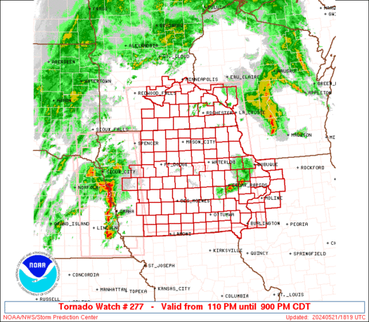
WW 277 SEVERE TSTM IA KS MO NE 282015Z - 290300Z
URGENT - IMMEDIATE BROADCAST REQUESTED
Severe Thunderstorm Watch Number 277
NWS Storm Prediction Center Norman OK
315 PM CDT Tue May 28 2019

The NWS Storm Prediction Center has issued a

* Severe Thunderstorm Watch for portions of
  Southern Iowa
  Extreme northeastern Kansas
  Extreme northern Missouri
  Extreme southeastern Nebraska

* Effective this Tuesday afternoon and evening from 315 PM until
  1000 PM CDT.

* Primary threats include...
  Widespread large hail and scattered very large hail events to
    2.5 inches in diameter likely
  Scattered damaging wind gusts to 70 mph possible

SUMMARY...Ongoing elevated thunderstorms with a history of large
hail will persist for the next several hours, and additional storms
will likely spread into the watch area from Kansas late this
afternoon/evening.  Large hail will be the main threat, though
storms close to the surface front could produce damaging gusts.

The severe thunderstorm watch area is approximately along and 50
statute miles north and south of a line from 35 miles west southwest
of Beatrice NE to 25 miles south southeast of Ottumwa IA. For a
complete depiction of the watch see the associated watch outline
update (WOUS64 KWNS WOU7).

PRECAUTIONARY/PREPAREDNESS ACTIONS...

REMEMBER...A Severe Thunderstorm Watch means conditions are
favorable for severe thunderstorms in and close to the watch area.
Persons in these areas should be on the lookout for threatening
weather conditions and listen for later statements and possible
warnings. Severe thunderstorms can and occasionally do produce
tornadoes.

&&

OTHER WATCH INFORMATION...CONTINUE...WW 272...WW 273...WW
274...WW 275...WW 276...

AVIATION...A few severe thunderstorms with hail surface and aloft to
2.5 inches. Extreme turbulence and surface wind gusts to 60 knots. A
few cumulonimbi with maximum tops to 550. Mean storm motion vector
24040.

...Thompson
Read moreVia http://www.spc.noaa.gov/products/watch/ww0277.html
0 Comments
Leave a Reply. |
| FenAlert Weather |
|
 RSS Feed
