|
#storms #weather #severe #alerts #ihearwind #ohhailno
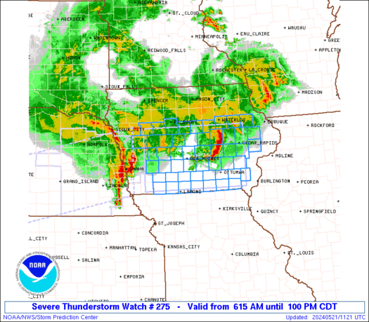
WW 275 TORNADO KS MO 281855Z - 290300Z
URGENT - IMMEDIATE BROADCAST REQUESTED
Tornado Watch Number 275
NWS Storm Prediction Center Norman OK
155 PM CDT Tue May 28 2019

The NWS Storm Prediction Center has issued a

* Tornado Watch for portions of
  Northeastern Kansas
  Northwestern Missouri

* Effective this Tuesday afternoon and evening from 155 PM until
  1000 PM CDT.

* Primary threats include...
  A few tornadoes likely with a couple intense tornadoes possible
  Widespread large hail and scattered very large hail events to 3
    inches in diameter likely
  Widespread damaging winds and isolated significant gusts to 80
    mph likely

SUMMARY...Initially elevated storms could become rooted near the
surface along a slow-moving front from northeastern Kansas into
northern Missouri this afternoon.  Additional storms are expected to
form and spread northeastward into the watch area from the southwest
by mid-late afternoon.  Supercells are expected with very large hail
and potentially a few tornadoes, especially with storms able move
along the front.  Upscale growth into a cluster is also possible
late this afternoon/evening, with an increasing threat for damaging
winds.

The tornado watch area is approximately along and 50 statute miles
north and south of a line from 35 miles south southeast of
Kirksville MO to 25 miles south southwest of Manhattan KS. For a
complete depiction of the watch see the associated watch outline
update (WOUS64 KWNS WOU5).

PRECAUTIONARY/PREPAREDNESS ACTIONS...

REMEMBER...A Tornado Watch means conditions are favorable for
tornadoes and severe thunderstorms in and close to the watch
area. Persons in these areas should be on the lookout for
threatening weather conditions and listen for later statements
and possible warnings.

&&

OTHER WATCH INFORMATION...CONTINUE...WW 272...WW 273...WW 274...

AVIATION...Tornadoes and a few severe thunderstorms with hail
surface and aloft to 3 inches. Extreme turbulence and surface wind
gusts to 70 knots. A few cumulonimbi with maximum tops to 550. Mean
storm motion vector 24035.

...Thompson
Read moreVia http://www.spc.noaa.gov/products/watch/ww0275.html
0 Comments
Leave a Reply. |
| FenAlert Weather |
|
 RSS Feed
