|
#storms #weather #severe #alerts #ihearwind #ohhailno
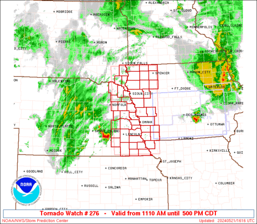
WW 276 TORNADO KS OK 281950Z - 290300Z
URGENT - IMMEDIATE BROADCAST REQUESTED
Tornado Watch Number 276
NWS Storm Prediction Center Norman OK
250 PM CDT Tue May 28 2019

The NWS Storm Prediction Center has issued a

* Tornado Watch for portions of
  Central and south central Kansas
  Central Oklahoma

* Effective this Tuesday afternoon and evening from 250 PM until
  1000 PM CDT.

* Primary threats include...
  A few tornadoes likely
  Scattered large hail and isolated very large hail events to 3
    inches in diameter likely
  Scattered damaging wind gusts to 70 mph likely

SUMMARY...Scattered supercell development is expected in the next
couple of hours along the dryline from west central Oklahoma
northward into central Kansas, as well as in the warm sector east of
the dryline across south central Kansas.  The storm environment will
favor very large hail as a primary concern, though a few tornadoes
will also be possible.  Damaging gusts will become more of a threat
if any clustering of storms occurs.

The tornado watch area is approximately along and 60 statute miles
east and west of a line from 35 miles northeast of Salina KS to 30
miles east of Fort Sill OK. For a complete depiction of the watch
see the associated watch outline update (WOUS64 KWNS WOU6).

PRECAUTIONARY/PREPAREDNESS ACTIONS...

REMEMBER...A Tornado Watch means conditions are favorable for
tornadoes and severe thunderstorms in and close to the watch
area. Persons in these areas should be on the lookout for
threatening weather conditions and listen for later statements
and possible warnings.

&&

OTHER WATCH INFORMATION...CONTINUE...WW 272...WW 273...WW
274...WW 275...

AVIATION...Tornadoes and a few severe thunderstorms with hail
surface and aloft to 3 inches. Extreme turbulence and surface wind
gusts to 60 knots. A few cumulonimbi with maximum tops to 600. Mean
storm motion vector 24035.

...Thompson
Read moreVia http://www.spc.noaa.gov/products/watch/ww0276.html
0 Comments
Leave a Reply. |
| FenAlert Weather |
|
 RSS Feed
